Bradley's View

Bradley's View

Monday, July 22, 2013

Ellingwood Ridge- La Plata Traverse

     We left the La Plata trailhead around 8:00 feeling quite giddy with the prospects of the excursion at hand (and under foot).  We jogged the jeep road .3 miles to the singletrack.  Trickiness ensued.  Hoping off rocks, swinging on branches, I even had the gumption to execute a front handspring, which I will probably never do again whilst wearing a hydration pack.  
      Upon crossing the second creek we stayed east on the faint trail that would take us to Ellingwood Ridge.  There were sporadic pink ribbons that kept us on course as the trail came and went.  We toiled through tedious talus once we breeched treeline.  It was a good warmup for both our legs and arms.
      Along the ridge, things were awesome.  Route finding was fairly simple; when deviating from the ridgecrest itself we would invariably stick to the east slopes.  Picking lines and executing downclimbs was a blast.  It's truly a joy to be growing comfortable with moving swiftly over class 3-4-5 terrain.  To get my heart racing on a 5-0 downclimb became addictive, so I elected to pursue more difficult options for the sake of increasing my climbing confidence and competence.  
      The route was truly sensational, despite being exhausting.  I don't really have a lot to say on it besides that.  I would encourage you to do it.  Word of warning, though, allow a little more time than you may think you'll need; we anticipated the traverse taking 3.5-4 hours and it ended up being closer to 4:40.  It's quite gratifying to gain 5,900 ft of elevation hand over foot over the course of only 5 miles.  We descended the standard route wrapping up the day after about 5 hours and 50 minutes out.  
     Enjoy the photos.  I lament to say that they do little to capture the magnitude of the beauty or the enjoyment we experienced.

Travis and Mike talusing.


Gaining the ridge

Mt Elbert looking stunning, per usual


Travis can climb

Me, enjoying a 13,xxx summit along Ellingwood Ridge.

Downclimb

Peep?


Mike scrAmbrose

Travis, soaking it all in

Moving along the last few pitches.

Eyeing the Nolan's route.

Mandatory summit shot

Thursday, July 18, 2013

Ten Mile Traverse: Ver. 1.9

     Every day I am inspired by the sight of a distant peak, a story I hear, or a dream that wakes me in a jubilant whimsy.  Yesterday, however, I elected to embark on the Ten Mile Traverse.  It was a route I completed last year, and one I hope to visit at least once a year for a long, long time.  Sandi and Sage met me in Frisco just as the alpenglow was gracing peaks in it's most becoming light.  We started from Mike's house and ran to the trailhead and began the longest climb of a long day of climbing.

     It has been several months, but sharing a day in the hills with Sandi and Sage was a pleasure, as always.  The scrambling prevalent between peaks two and four was uncharted territory for them, but they handled it with the strength and poise that guides them through every bit of life.

    I titled this post Ten Mile Traverse: Version 1.9 since I didn't actually summit peak 10 this time around.  Ominous clouds began making their presence known as we ascended peak 9.  Being without a layer, I knew I would be in for a cold descent and a cold busride if I delayed and let the hail and rain catch me.  We reached the saddle of peaks 9 and 10 about 6 hours and 40 minutes into the outing, at which point I began the dash down the gravel road and ski slopes to the Breckenridge Transit Station.  It was a good days work.

    I hope to continue with these Wednesday adventures.  Few people spend their Wednesday mornings on the trails, it turns out.  And I, thankfully, have great friends who also don't work 9-5s.  Next Wednesday I look forward to joining Eric and Troy for a 54 mile day as they dig deep in an effort to set a new Colorado Trail Speed Record!

Sandi, crushing.

Sage running up Peak One

View from Peak 3

Pick a line, any line...
Head in the clouds on Peak Two

Little exposure en route to Peak 3


Sage en route to slaying the Dragon

Scrambling the ridge between Three and Four

Sage and Sandi summiting Peak Four

Enjoying solid ground around Peak Five

Marching the steep grades up Peak Nine


Tuesday, July 16, 2013

Four Passes Loop Revisited

      Balance.  It is an underlying theme in each of our lives.  Be it the yin and the yang that represents so many principles of various eastern philosophies, or the more tangible balance that must occur when striving to work, play, nurture others, and grow amidst the hustle and bustle of life, balance is integral.  Often, I am aloof in my pursuit of balance, but recently I've come to terms with one truth regarding balance in my life: I prefer to balance on the edge.

        An interesting quote that came my way a couple of days ago:

"There are no instructions.  There is nothing to hold on to.  You have to decide for yourself what gives you inner strength, what minimizes your confusion, what helps you get unstuck, what brings you closer to experiencing life without a storyline..."
-Pema Chodron

      I had the pleasure of making the acquaintance of Eric Grossman, a friend of some friends.  A few minutes before we'd even learned each other's names, we set a date two days away to trek the Maroon Bells Four Passes Loop.  It is always wonderful to be surrounded by people who also relish in the pursuit of beauty, the exploration of fatigue, and who have an undaunted enthusiasm for both the adventure of life and adventures in life.

      The trek featured good climbing (~12,000ft), great conversation, impeccable weather, and everything else that makes this one of the most scenic and inspiring routes in Colorado.  The trek took us about 7.5 hours.


Sunrise by Crater Lake (Photo: E. Grossman)

Ascending Buckskin Pass (Photo: E. Grossman)

Eric descending
   
Hikers descending Trail Rider Pass towards Snowmass Lake (Photo: E. Grossman)

"My hearts stuck on a mountain somewhere in North Caroline
Me, I choose to spend my days out here in the columbine"

Reaching the top of Frigid Air Pass, loving life.

Unbelievable grandeur! 

Tuesday, June 25, 2013

Up

     It's been a while since I posted anything on here, but it isn't because I haven't been doing anything...  After hiking, I headed out to the Outer Banks to spend some time with Melissa, where I familiarized myself with surfing, read lots of good books, and worked at a coffeeshop briefly.  
     Shortly thereafter, I received a proposition to return to Leadville and resume my role at City On A Hill Coffee & Espresso.  I thought of Colorado summers, exciting happenings in the coffee business, and the general peace of mind equated with a low-key low-maintenence low-income area like Leadville, and that was that. 
     I got back to Leadville two weeks ago.  It's felt a bit like picking up where last summer left off.  The summits make me feel alive.  I run ridges and smile so much that my face hurts.  
     I foresee a lot of high peaks in the future.  But, right now, I am sitting in the Denver Airport (my flight is delayed) getting ready to fly to Minnesota for a 10 day paddling trip in Quetico Provincial Park.
      
      Meanwhile, Matt is putting up an incredible effort on his <60 day AT-hike.  

The Three Apostles, seen from Mt. Huron's southern ridge.


Jason ascending Kelso Ridge

Kelso Ridge

Kelso Ridge

View of Torrey's from near Gray's summit.


Preparing to glissade.

Yeah.(Photo J.Antin)


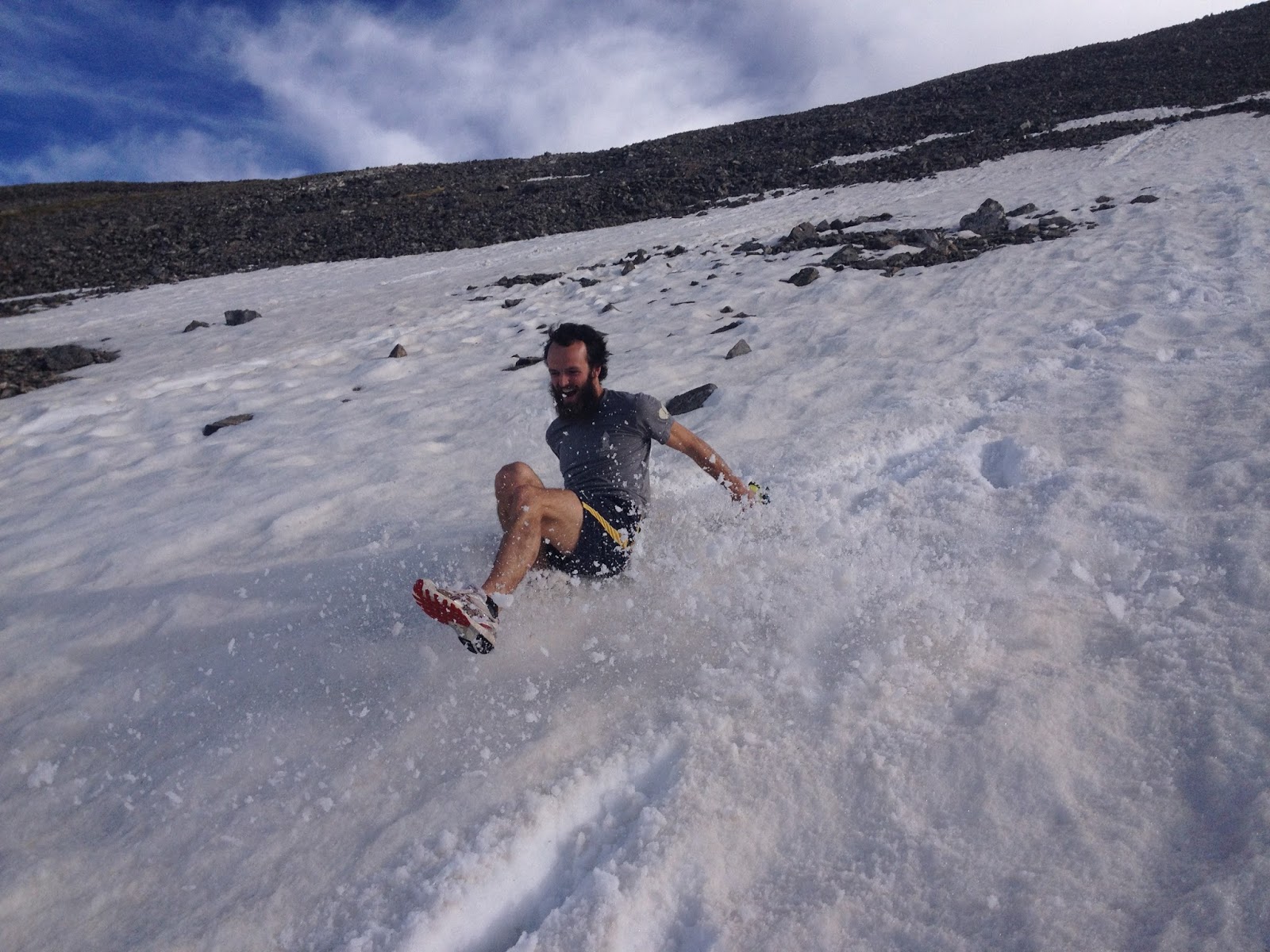
Goat.
Photos: J.Antin


Tuesday, May 21, 2013

Foothills Trail Fastpack


    Adventures don't always end up as planned.  If they did, I would likely refer to them as activities.  I once heard someone say that adventure doesn't begin until something goes awry.

    Luna and I reached the Casa de Kirk and decided to layover a few days in celebration of Lily's birthday.  We played board games, harvested ramps, and spent a day paddling on the French Broad; time well spent by any measure!  After the paddling trip, we elected to hitch a ride with Eliot and Ashley to their house in Jones Gap State Park (SC).  This allowed us to shave about 14 miles of roadwalking that would have been less than enjoyable, especially with the four-legged one.
Luna and Uwharrie conked out.

    So the story begins at Jones Gap State Park, the eastern terminus of the blue-blaze spur of the Foothills Trail.  What follows are my journal entries, so forgive any lack of eloquence, I was typically tired when I wrote them.

Saturday, May 11, 2013

Hiking Trip/Tracking The Trek

    A couple of days ago Luna and I set off from Asheville bound for Brevard.  The first day of hiking was beautiful and enjoyable as we rode the Mountains-To-Sea trail across Asheville.  We hiked for about 8.5 hours, covered about 30 miles, and camped atop Ferrin Knob.
    On the second day we started with the sun and continued climbing the remainder of the Shut-In Trail en route to the Pisgah Inn.  We relaxed at the inn for a couple of hours and enjoyed a hearty breakfast and began our descent through the Pisgah Ranger District at about 11:30.  The water was really flowing due to all the recent rain, and creeks were turned into cascades.  We trudged down the MST to the Barnett Branch trail, crossed the South Fork Mills River, and climbed up to the Black Mountain Trail.  At about 3:00 we arrived at the Buckhorn Gap Shelter with intentions of settling in there for the night.  By 4:00 I had woken up from a siesta, realized that there were still 4+ hours of daylight, and elected to continue hiking.  Quick climbs up Clawhammer and Black Mountain led to a lengthy descent down to the Davidson River.  The Brevard Bike Path then took us into town where Matt met us and directed us to a crucial side trail linking us to the Oscar Blues Brewery.
    A run up Bracken Mountain, the celebration of Lily's birthday, and all around good company have led to a good couple of days of R&R here at the Casa de Kirk.

Sunrise from Ferrin Knob

Morning light near Big Ridge Overlook

Near the Pisgah Inn

A bee pollinating Trillium

Clouds coming in seen  from the saddle of Clawhammer and Black Mountain

Refreshing in the Davidson near the day's end.

    Monday morning we will take to the woods once more.  Our final destination on this 450 mile journey will be Roan Mountain, and we must be there by May 30th (for the RAM). Below is a map on which our progress will be recorded, if you find yourself interested in following along.